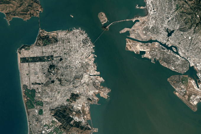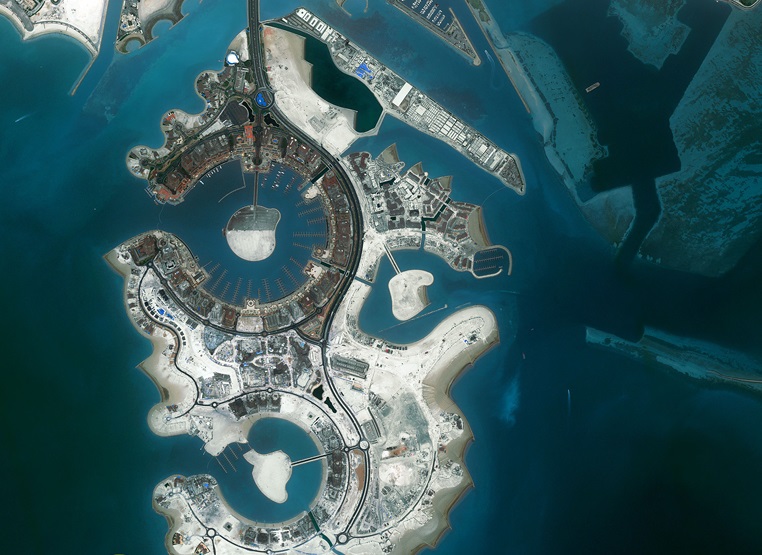
Remote sensing satellite image service (DigitalgGlob)
Services Provide satellite images for remote sensing
CSIA Services provide satellite remote sensing images. Center for Satellite Remote Sensing (CSIA) are agents for distribution of various satellite images, such as optical remote sensing satellites, Radar remote sensing satellites with High resolutions (0.4m, 1m, 1.5m, 5m, 20m, 30m, 100m), service provided images obtained from remote sensing image acquisition station, take pictures at any distance and in all weather conditions The harshest of the atmosphere.

Remote sensing solution:
Processing and provision of remote sensing images as required.
Image interpretation, development of current status map: land use status map, forest status map, ecosystem map, updating objects as required by customers.
- Build maps of flooded areas, assess flood risks.
- Building a map of transport and urban infrastructure systems.
- Evaluation of changes using multi-time remote sensing images.
- Training and training on remote sensing applications in natural resource management.
In addition, the Center for processing and analyzing remote sensing data CSIA provides high-resolution remote sensing image services in areas such as security – defense, agriculture – forestry, search and rescue, environmental resource management, energy development, climate change detection and infrastructure management.
CSIA is always the best choice for managing and monitoring activities on Earth.
