
Application of remote sensing images in the field of national security, allowing analysts to identify hot spots. With the processing of remote sensing technology, identify trends and detect other models to map crime.

Remote sensing image processing support tool
Remote image processing support tool
Photo remote sensing and GIS are data mapping applications to map crime has become an essential tool in law enforcement agencies around the world, perhaps one of the valuable tools Most valuable available. Remote sensing image data for criminal mapping is one of the key elements of criminal analysis.

Application of remote sensing images in the world
Remote sensing satellite images can display important information about criminal activities happening across the country and around the world. Additional functions of remote sensing satellite imagery and GIS maps have increased the ability to combat crime due to high efficiency and speed of analysis.
 Application of remote sensing images in the economic sector
The characteristics of remote sensing images allow analysts to identify exactly other data sets such as demographic census, store locations, banks and schools, etc., to better understand the original data. Crime of crime and help law enforcement managers come up with strategies to solve problems.
Remote sensing processing is also useful for law enforcement activities, such as police allocation and maneuvering in emergencies.
Experts on satellite imagery have experience in extracting, processing and adding satellite remote sensing data, using advanced remote sensing techniques, providing system monitoring and consulting services. Remote sensing images, color and color image processing services, as well as sharpen with remote sensing data fusion, image enhancement, geographic conferences, mosaics, and color balance / scale Gray.
Advantages of remote sensing technology
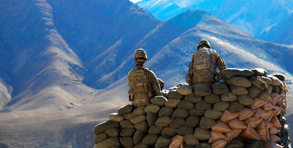
Remote sensing technology has yielded superior results compared to traditional methods of collecting and analyzing information, especially in the field of basic investigation, resource management, database building (database ) terrain and geographic information. environmental monitoring and protection, disaster prevention and mitigation; organization and territory management; security and defense (ANQP).
In the field of National Security, we must mention some of the following applications:
- Simulator of 2D and 3D terrain maps
- Monitoring the border and islands
- Search and rescue and rescue at sea
- Monitoring and monitoring the accretion of islands, beaches, …
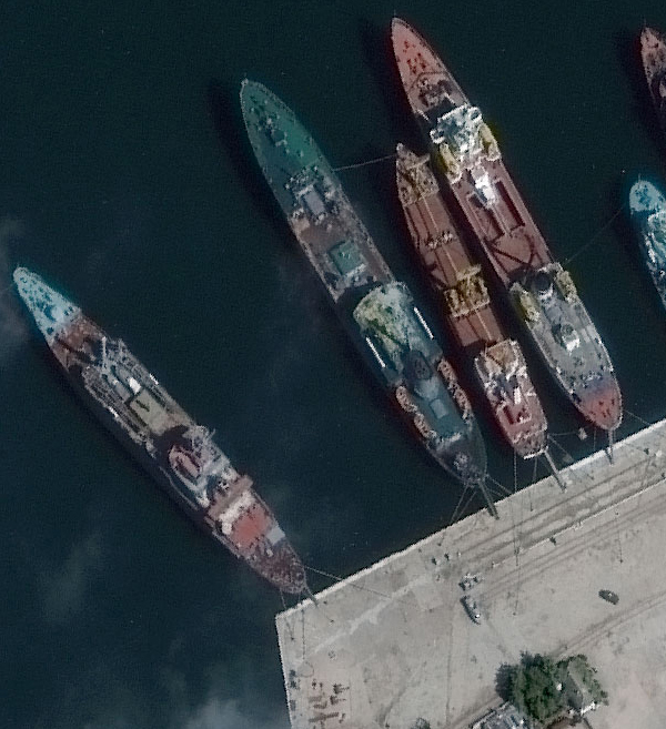
- Monitoring Ship identification at sea
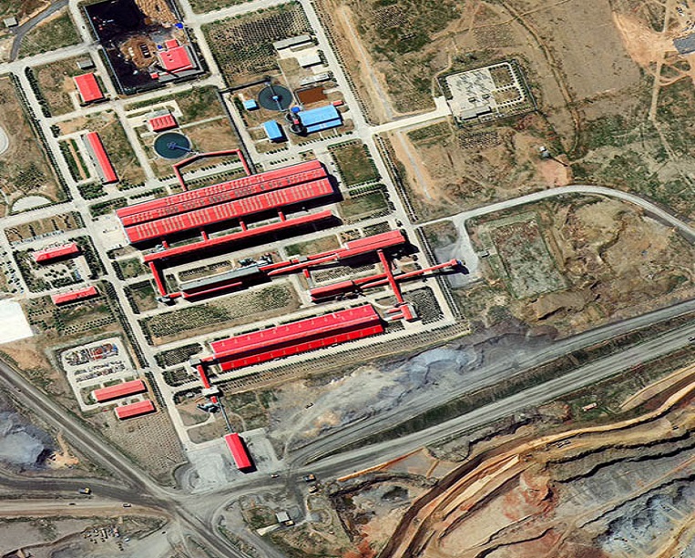
- Support for infrastructure management planning
- Supervise the construction of bases and facilities …
We provide solutions, satellite remote sensing images, software tools to support research, improve production technology process, gradually improve the ability of automation in exploitation and use of satellite images. (especially for a number of new technologies such as Radar, Lidar, super spectral, infrared images …) to serve advisory tasks and ensure topography, support decisions for leaders and commanders units at all levels.
Source: DigitalGlobe
Ngoc Hien