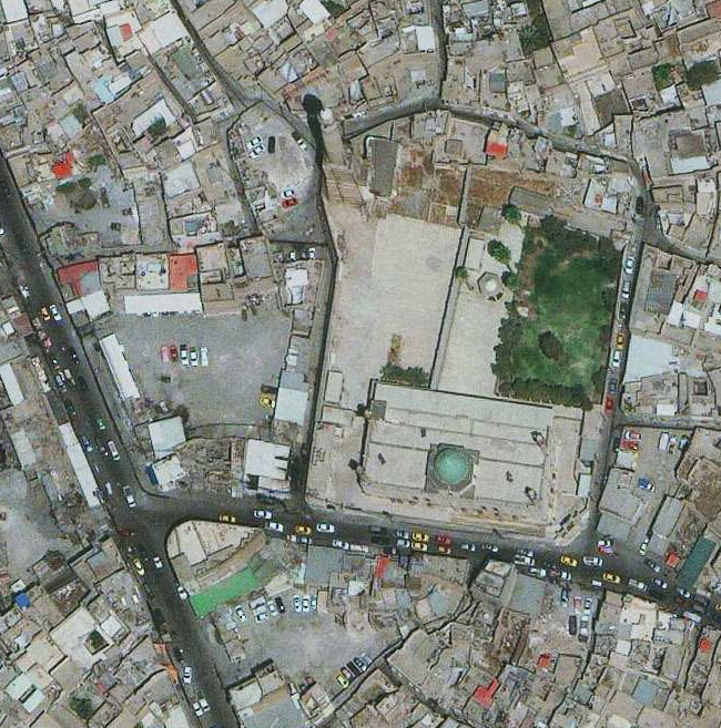
 Services of processing and analyzing remote sensing and GIS image data
Services of processing and analyzing remote sensing. As a distributor of many remote sensing satellite images such as optical images in remote sensing, radar remote sensing satellites with different resolutions (0.4m, 1m, 1.5m, 5m, 20m, 30m, 100m), shooting at every height on Earth, in all the harsh conditions of the weather.
Remote image processing support tools include:
- Live photo with control points (maps built from visible satellite images with natural colors, thereby manipulating images to reduce geographic errors of images)
- Live photos with control points and high-altitude models
Stereogram - Vector data such as place names, boundaries, traffic and waterways, topical information layers
- Maps with different ratios from vector data and raster

Service of processing and analyzing remote sensing and GIS (DigitalGlob)
Remote sensing and GIS data analysis services include:
- Service of analyzing and solving multi-criteria problems appropriately
- The service provides solutions for high resolution image analysis such as sub-pixel analysis, unmixed spectrum analysis. to extract information for blending pixels
- Advanced analytical solutions in GIS to produce results with high accuracy: correlation analysis, network analysis, surface modeling, analysis of convergence and dispersion of geographic objects physics and phenomena in nature, methods of interpolation calculation based on the analysis and statistics of characteristics of input data sources
- The service provides solutions to build predictive models based on remote sensing and GIS image data sources
