image: baomoi
Development of specialized remote sensing software
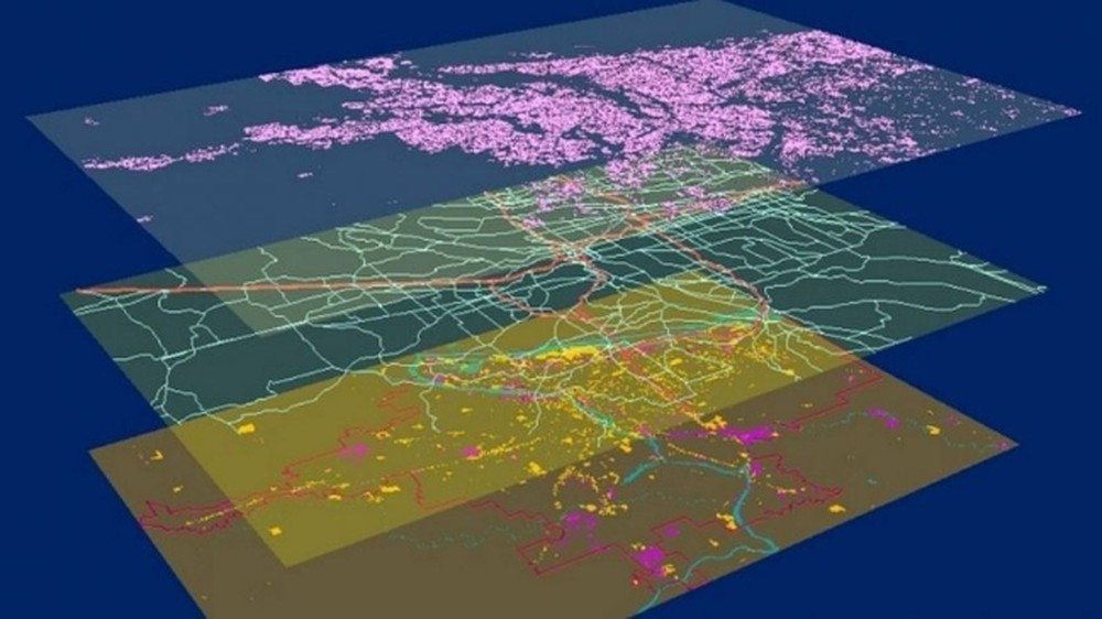
Developing specialized software for remote sensing and GIS is to develop human resources to write remote sensing image processing software and apply this tool to exploitation, natural resource management and mitigation natural disasters.
Remote sensing is a science that observes the Earth’s surface from space by satellite or by plane. Remote sensing image data includes sensing devices, recording energy generated from research objects, and including hardware / software combinations with the ability to process, analyze and apply collected information. from the picture.
Remote sensing software

• Tools to support remote sensing image processing, remote sensing and GIS data analysis; Map editorial support tools
• Thematic softwares using remote sensing and GIS data sources
• Software models for calculation based on remote sensing and GIS technology
• Thematic webGIS …
