
Remote sensing application has the role of observing and exploring oil and gas fields, determining the location of oil refining pipelines, developing energy sources. From the measured data from remote sensing image application, support monitoring oil and gas industry management, warning of dangerous emergencies, above all through remote sensing image application, warning potential risks. could happen.

Remote sensing geographic survey in energy development
Remote sensing images warn of risks during seismic survey
Remote sensing and GIS data applications provide 2D or 3D images to support seismic survey planning, oil and gas exploration rig, help reduce HSE risks (health – safety – environment).
Using advanced color balancing techniques for satellite image processing and accurate band combination, reconstructing remote sensing satellite images can process images according to customers’ requirements, optimized to identify specific terrain and geological features. These features are determined by high-resolution 3D terrain images, on the other hand, can obtain stereo or LiDAR satellite images, see in 3D terrain images.
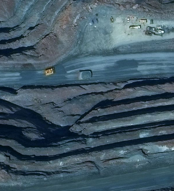
Source: DigitalGlobe

Photo taken from remote sensing oil and gas exploration
Remote sensing satellite map <1m high resolution and DEM 2m-5m support suitable planning for 2D and 3D seismic survey. Altitude data is defined in digital format, called elevation model (DEM) or terrain numerical model (DTM) combined with remote sensing data.
Remote sensing image collection, location of drilling platforms in the South China Sea, reports on marine environmental monitoring. The use of remote sensing and GIS images to analyze measurement and capture data.
Development of remote sensing technology in the oil and gas industry
SIC creates mapping analysis tools, images that remote sensing images and GIS data are usually large-scale images. During planning surveys, maps containing remote sensing satellite image analysis data, with the aim of drawing pipelines, identifying potential areas and identifying strategies to place pipelines through rural, mountainous or harsh environments.
Source: DigitalGlobe
Ngọc Hiền