Hydrometeorology is an indispensable science in studying and monitoring the activity of the atmosphere on the Earth, from changes in the soil environment, weather, humidity, rainfall, to landscape disaster report.
What is the hydrological concept?
Hydrometeorology (Hydrometeorology) is a branch of hydrometeorology that studies the transformation of water and energy between the soil surface and the lower atmosphere.
Since ancient times, hydrologists often use meteorologists and products created by meteorologists. For example, a meteorologist predicts 2-3 inches of rain at a specific area and then a hydrologist will predict the specific impact of that rain on the terrain.

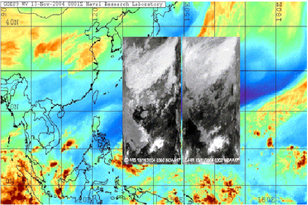
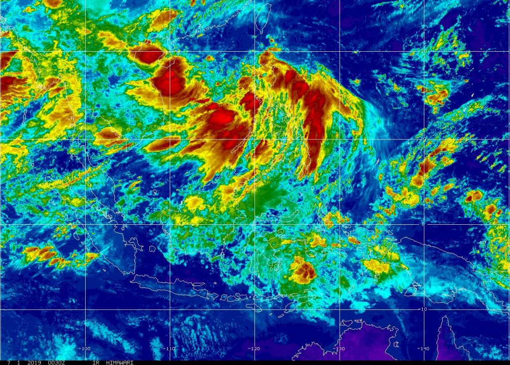
Remote sensing radar image
Meteorological meteorology is of special interest to UNESCO
UNESCO has some programs and activities related to the study of natural hazards of hydro-meteorological origin and minimizing their impact.
Application of meteorology in weather forecasting natural processes or atmospheric, hydrological or oceanic phenomena such as floods, tropical cyclones, droughts, and desertification. Many countries have established a hydro-meteorological capability to support forecasts and warnings and to inform the public about these growing hazards.

Application of remote sensing images in monitoring climate change
Hydrometeorological forecast by satellite cloud image
One of the more important aspects of hydrometeorology is to resolve stars in anticipation and try to minimize the impact of heavy rain events.
Ancient weather forecast
The ancient forecasting method of the ancient people is often based on observing a part of the events, and therefore only realizing how part of the weather will occur. For example, if you observe that when the Sun goes red, the next day the weather is quite favorable.
Such experience is accumulated through many generations of succession into the proverb of weather. However, not all of these predictions are reliable, and many of the folk tales of the weather are no longer satisfactory for rigorous statistical tests.
Method of weather forecast today
There are three main methods for modeling when it comes to forecasting. It is an immediate forecast, meaning digital weather forecasting and statistical techniques.
- Instant forecasts are good for predicting events in a few hours, using observations and live radar data to combine with numerical weather forecasting models.
- Digital weather forecasting, the main technique used to forecast the weather, uses models to take into account the atmosphere, ocean models and other variables that makeup forecasts.
- These forecasts are often used for predictive days or weeks. Images from recorded remote sensing stations are included in processing and analyzing remote sensing data to create long-term and weekly forecasts. These models allow scientists to see how many different variables interact with each other and they illustrate a picture of how the earth’s climate interacts with itself.

Hydrometeorology subject to disaster risk assessment
A major component of hydrometeorology is to reduce risks associated with flooding and other hydrological threats. How to interpret remote sensing images to confirm the natural disasters caused and prevented.
After analyzing the risks, the hydro-meteorological warning systems are designed to quickly warn people and warn of severe or mild natural disasters.
Nguồn: Wikipedia
Ngọc Hiền