The WorldView-3 satellite sensor was licensed by the National Oceanic and Atmospheric Administration (NOAA) to collect in addition to the standard Panchromatic and Multispectral bands, eight-band short-wave infrared (SWIR) and 12 CAVIS imagery. The WorldView-3 satellite was successfully launched on August 13, 2014.

WorldView-3 Satellite Sensor Specifications
WorldView-3 is the first multi-payload, super-spectral, high-resolution commercial satellite sensor operating at an altitude of 617 km. WorldView-3 satellite provides 31 cm panchromatic resolution, 1.24 m multispectral resolution, 3.7 m short wave infrared resolution (SWIR) and 30 m CAVIS resolution. The satellite has an average revisit time of <1 day and is capable of collecting up to 680,000 km2 per day.
WorldView-3 satellite bears a strong resemblance to WorldView-2 launched on October 8, 2009 in terms of its performance characteristics. The WorldView-3 satellite sensor benefits from significant improvements including cost savings, risk reduction, and faster delivery for its customers.
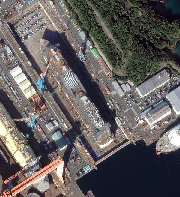
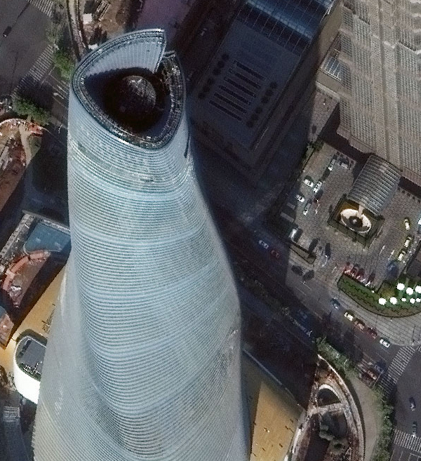
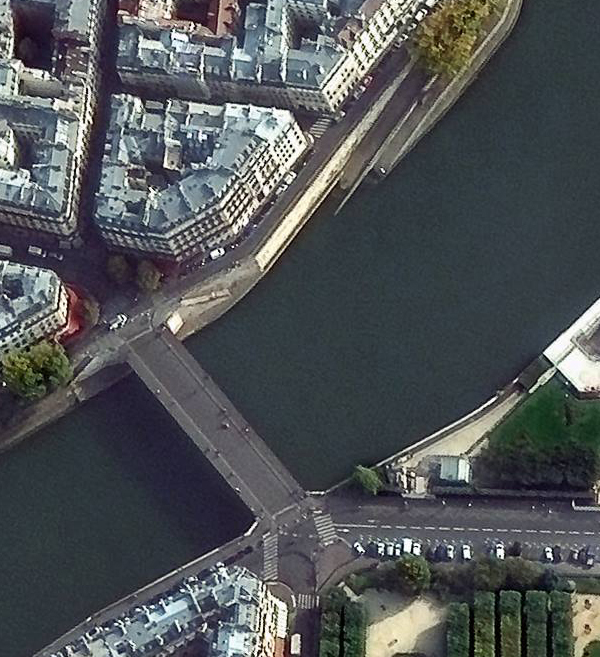
Sample Images
WorldView-3 Satellite Sensor Specifications

Click on image to view in full resolution
| Launch Date | August 13, 2014 |
| Orbit | Altitude: 617 km Type: SunSync, 1:30 pm descending Node Period: 97 min. |
| Life | Spec Mission Life; 7.25 years Estimated Service Life: 10 to 12 years |
| Spacecraft Size, Mass and Power | Size: 5.7 m (18.7 feet) tall x 2.5 m (8 feet) across, 7.1 m (23 feet) across the deployed solar arrays Mass: 2800 kilograms (6200 pounds) Power: 3.1 kW solar array, 100 Ahr battery |
| Sensor Bands | Panchromatic: 450-800 nm 8 Multispectral: (red, red edge, coastal, blue, green, yellow, near-IR1 and near-IR2) 400 nm – 1040 nm 8 SWIR: 1195 nm – 2365 nm 12 CAVIS Bands: (desert clouds, aerosol-1, aerosol-2, aerosol-3, green, water-1, water- 2, water-3, NDVI-SWIR, cirrus, snow) 405 nm – 2245 nm |
| Sensor Resolution ( or GSD, Ground Sample Distance; off-nadir is geometric mean) | Panchromatic Nadir: 0.31 m GSD at Nadir 0.34 m at 20° Off-Nadir Multispectral Nadir: 1.24 m at Nadir, 1.38 m at 20° Off-Nadir SWIR Nadir: 3.70 m at Nadir, 4.10 m at 20° Off-Nadir (Commercial delivery at 7.5m resolution) CAVIS Nadir: 30.00 m |
| Dynamic Range | 11-bits per pixel Pan and MS; 14-bits per pixel SWIR |
| Swath Width | At nadir: 13.1 km |
| Attitude Determination and Control | Type: 3-axis stabilized Actuators: Control Moment Gyros (CMGs) Sensors: Star trackers, precision, IRU, GPS |
| Pointing Accuracy and Knowledge | Accuracy: <500 m at image start and stop Knowledge: Supports geolocation accuracy below |
| Retargeting Agility | Time to slew 200 km: 12 seconds |
| Onboard Storage | 2199 Gb solid state with EDAC |
| Communications | Image & Ancillary: 800 & 1200 Mbps X-band Housekeeping: 4, 16, 32 or 64 kbps real-time, 524 kbps stored, X-band Command: 2 0r 64 kbps S-band |
| Max Contiguous Area Collected in a Single Pass (30° off-nadir angle) | Mono: 66.5 km x 112 km (5 strips) Stereo: 26.6 km x 112 km (2 pairs) |
| Revisit Frequency(at 40°N Latitude) | 1 m GSD: <1.0 day 4.5 days at 20° off-nadir or less |
| Geolocation Accuracy(CE90) | Predicted Performance: <3.5 m CE90 without ground control |
| Capacity | 680,000 km2 per day |
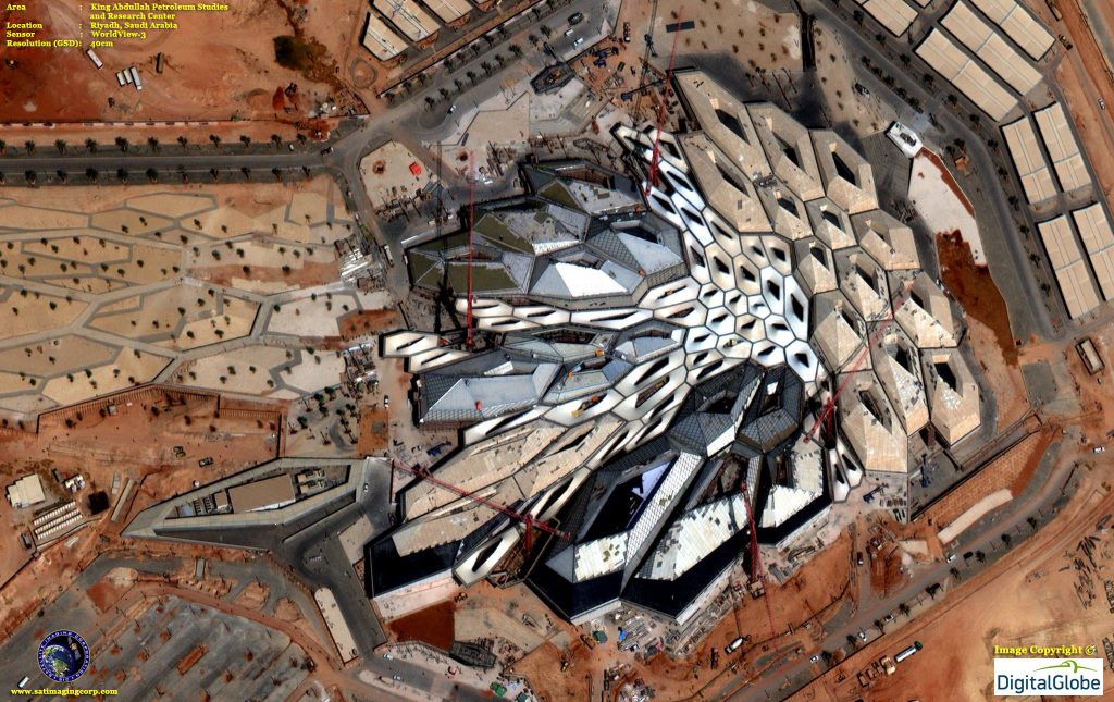
Engineering and Construction
Madrid, Spain (40cm)


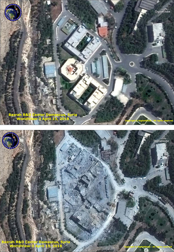
Defense and Intelligence
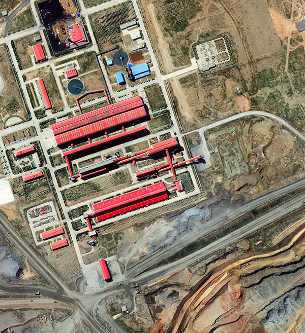
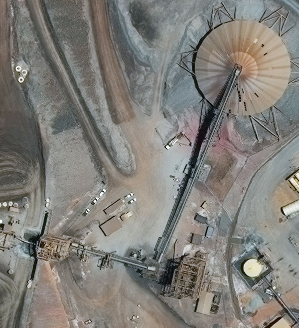
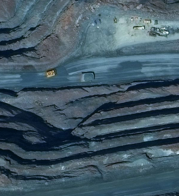
Mining
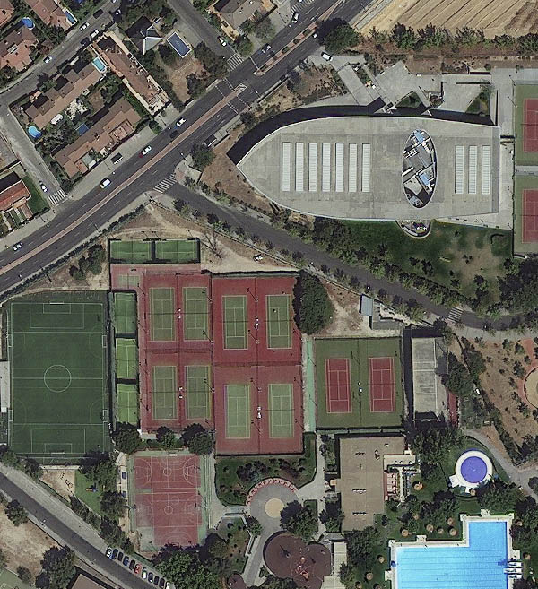
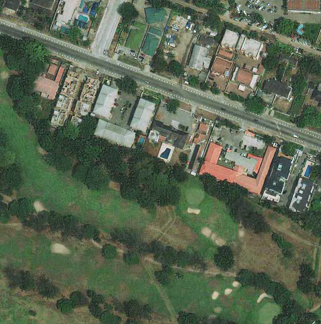
Sports and Tourism
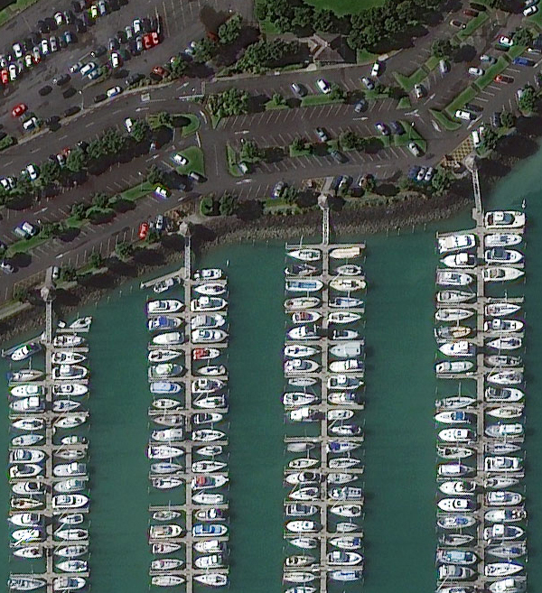
Auckland, New Zealand Marina (30cm)

Madrid, Spain (30cm)

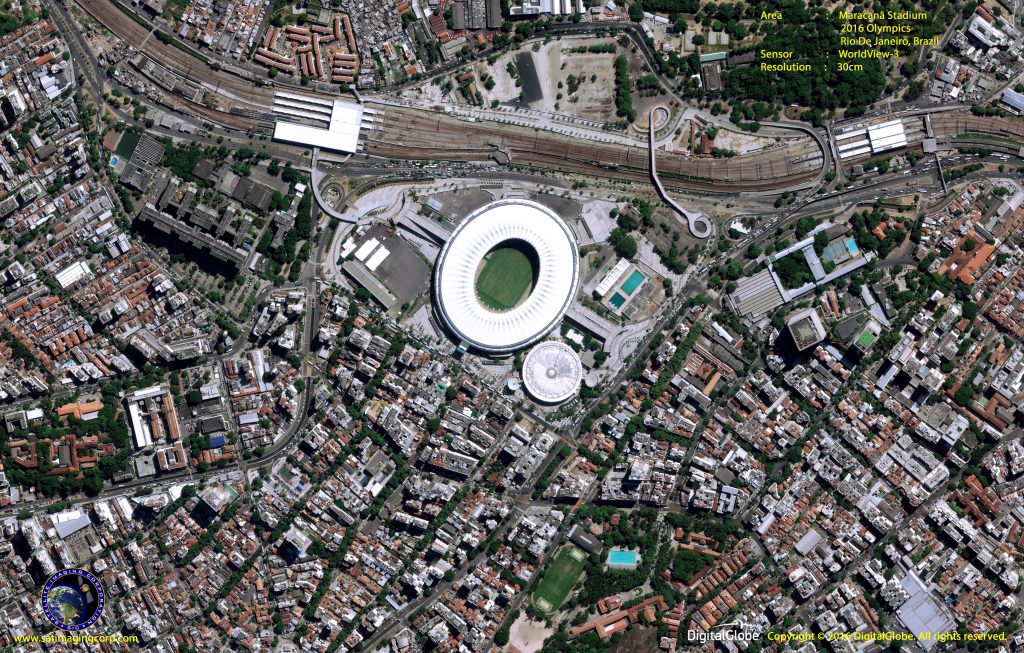
2016 Olympics – Maracanã Stadium, Rio De Janeiro, Brazil (30cm)
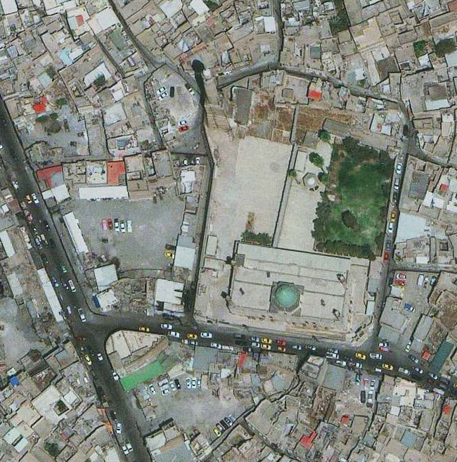
Lagos, Nigeria

2018 Winter Olympics, PyeongChang
Transportation
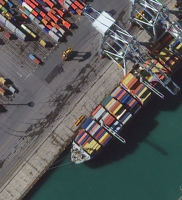
Auckland, New Zealand Port (30cm)
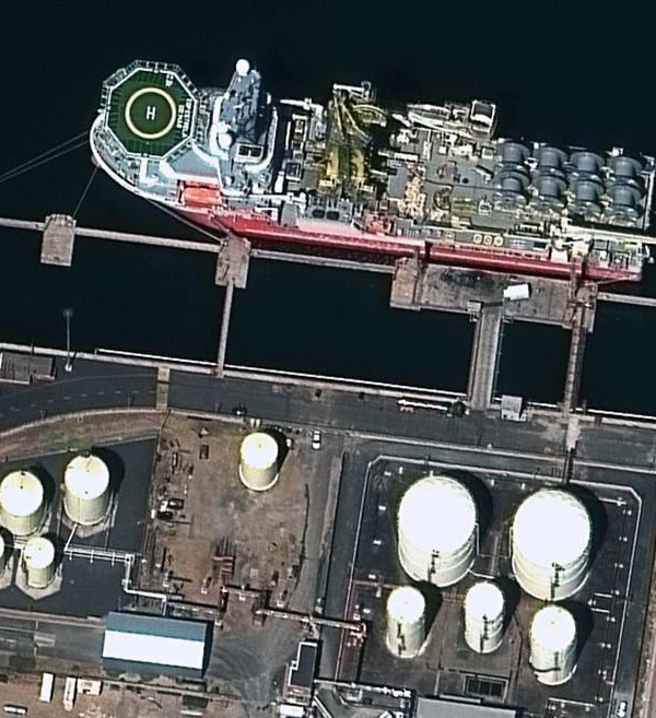
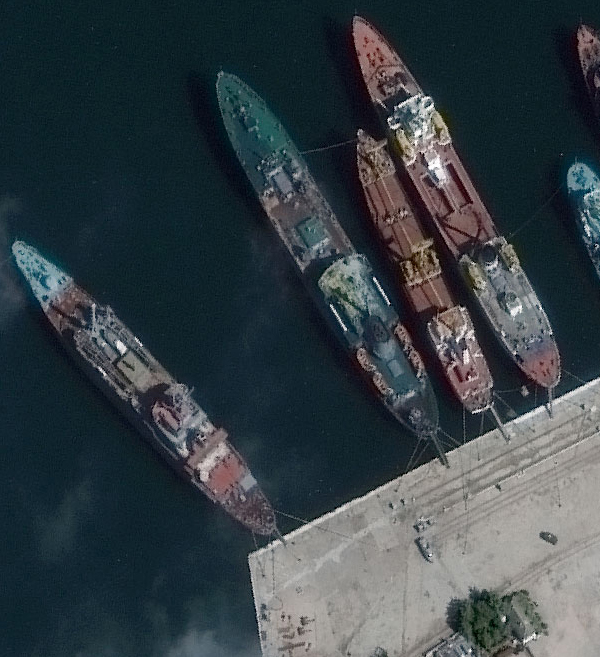
Port, Cape Town, South Africa (30cm)
Wildlife Monitoring & Tracking
Caribou Tracking – North Slope, Alaska (30cm)
Environmental Monitoring

Rainbow Range, British Columbia (40cm)
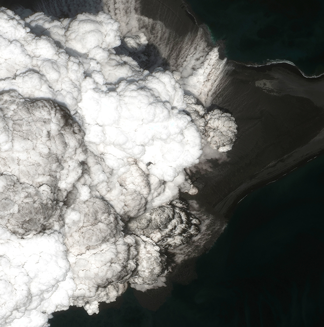
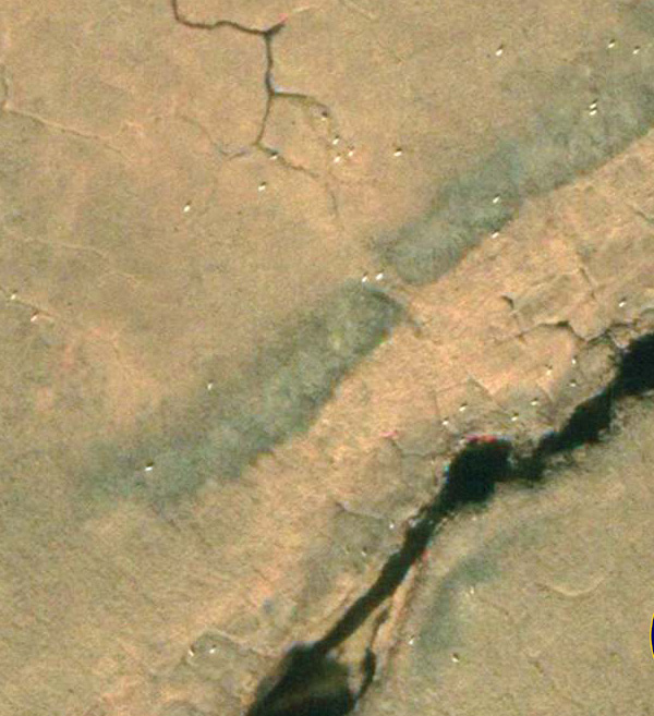
Map Bogoslof Volcano, Alaska (30cm)
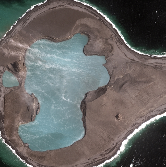
Map Bogoslof Volcano, Alaska (30cm)
Forestry
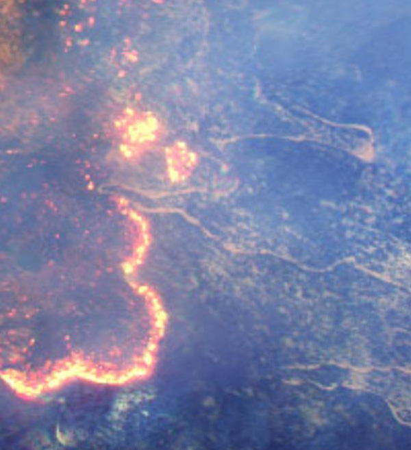
Fires at Happy Camp Complex, California (40cm)
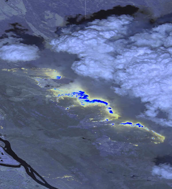
2016 Fort McMurray Wildfires Low resolution SWIR Image
Aviation
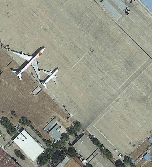
Airport – Madrid, Spain (40cm)
Renewable Energy
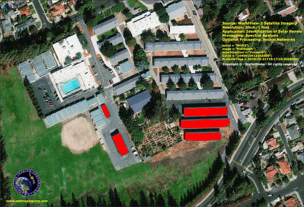
Solar Panels – San Jose, CA (30cm)
Natural Disasters
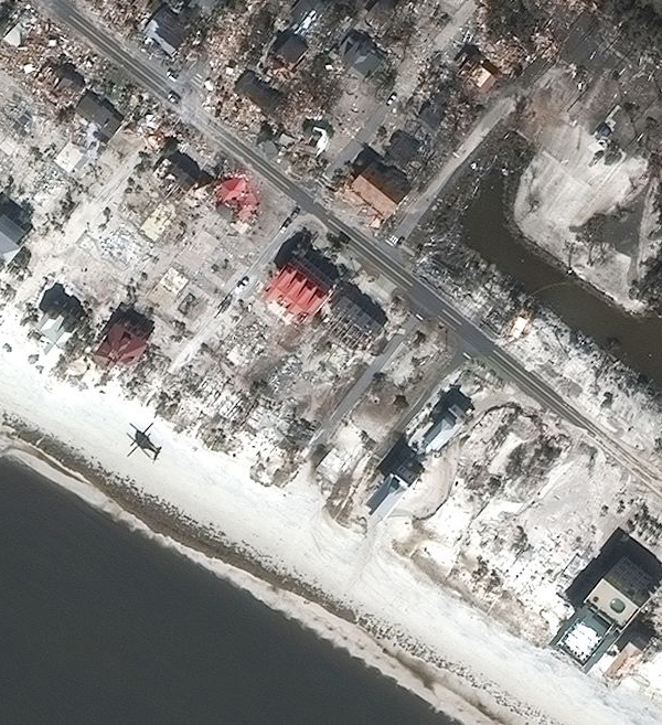
Hurricane Michael (40cm)
Satimagingcorp