
Wuhan “ghost” city via satellite image
Wuhan city via a satellite image, from a crowded city, is now becoming a “ghost town” as social calls, after 8 days of the outbreak of nCoV virus (Corona), the…
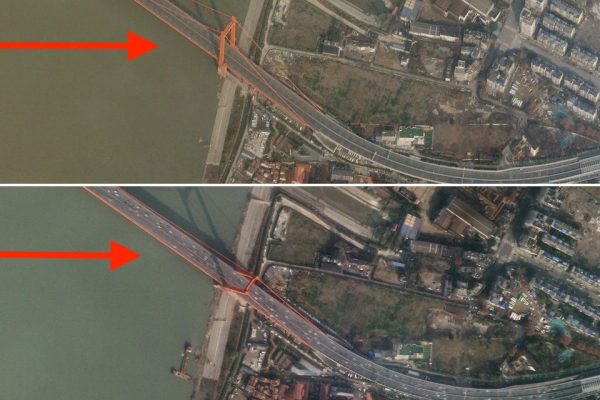
Wuhan city via a satellite image, from a crowded city, is now becoming a “ghost town” as social calls, after 8 days of the outbreak of nCoV virus (Corona), the…
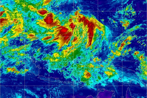
Meteorological satellites are a type of artificial satellite used primarily to observe the weather and climate on Earth. Meteorological satellites not only observe clouds and cloud systems. Satellite images of…
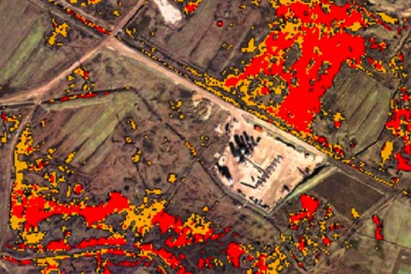
Remote Satellite image is the scanning of the earth by satellite or high-flying aircraft in order to obtain information about it. Refer to remote sensing images through the Center for…
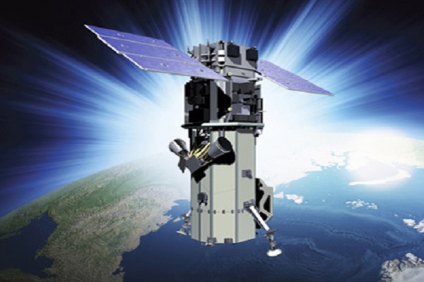
The WorldView-3 satellite sensor was licensed by the National Oceanic and Atmospheric Administration (NOAA) to collect in addition to the standard Panchromatic and Multispectral bands, eight-band short-wave infrared (SWIR) and…

Artificial intelligence in remote sensing is considered an important science. These algorithms have the ability to handle highly calculated data and establish classes with complex characteristics. Over the past few…
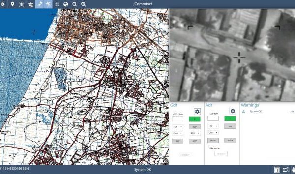
Israel: Commtact, an Israeli company which specializes in the development, manufacture, and support of innovative communications systems, exposes its new developed I-Commtact Command and Control software application. I-Commtact provides user-friendly…
US: The GEOINT 2018 Symposium is less than a month away from returning to the Tampa Convention Center April 22-25. The theme of this year’s USGIF Symposium is “Driving Data…