We are the agent distributing satellite images of many different remote sensing satellites, from Optical remote sensing satellite, Radar remote sensing satellite with different resolutions (0.4m, 1m, 1.5m, 5m, 20m , 30m, 100m), covering most locations in the world with high frequency.
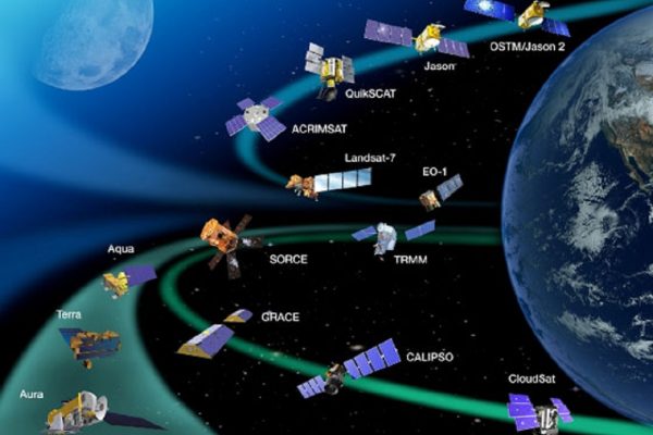
Image processing services provide standard value added products and specific products from remote sensing satellite images data, including:
Visualize with control points
Visualize with control point and elevation model
Stereoscopic
Vector data such as geographic location, boundary, traffic and hydro, layers of thematic information
Maps with different ratios from vector and raster data
Remote sensing data analysis and GIS services include:
Analysis and solving multi-criterion problems
Provides advanced image analysis solutions such as sub-pixel analysis, unmix spectrum analysis, etc. To extract the information for the blended pixels
Advanced analytical solutions in GIS aim to produce results with high accuracy: correlation analysis, network analysis, surface modeling, convergence analysis, dispersion of geographic features. natural phenomena and phenomena, interpolation methods based on the analysis and statistics of the characteristics of the input data source
Provides solutions to build predictive models based on remote sensing and GIS data sources

- Design, construction and installation of remote sensing imagery, construction of remote sensing data processing centers.
- Consulting and providing solutions for the implementation of projects related to the application of remote sensing technology in the fields of security, national defense, natural resources and environment management, rescue and rescue and management and supervision. the infrastructure

- Training in remote sensing technology and technology: including radar and optical imaging
- Training on data processing and analysis methods from basic to advanced in GIS
- Deploy the actual application requirements using remote sensing technology and GIS

- Surveying and evaluating the current status of data; to digitalize and process data
- Design of spatial database structure, support for storage, updating, exploitation and sharing of spatial data
- Designing, designing and executing construction of an attribute database and a thematic database.